Map
The map section provides users with the ability to observe objects in real-time or trace the path taken by an object when the history data is loaded.
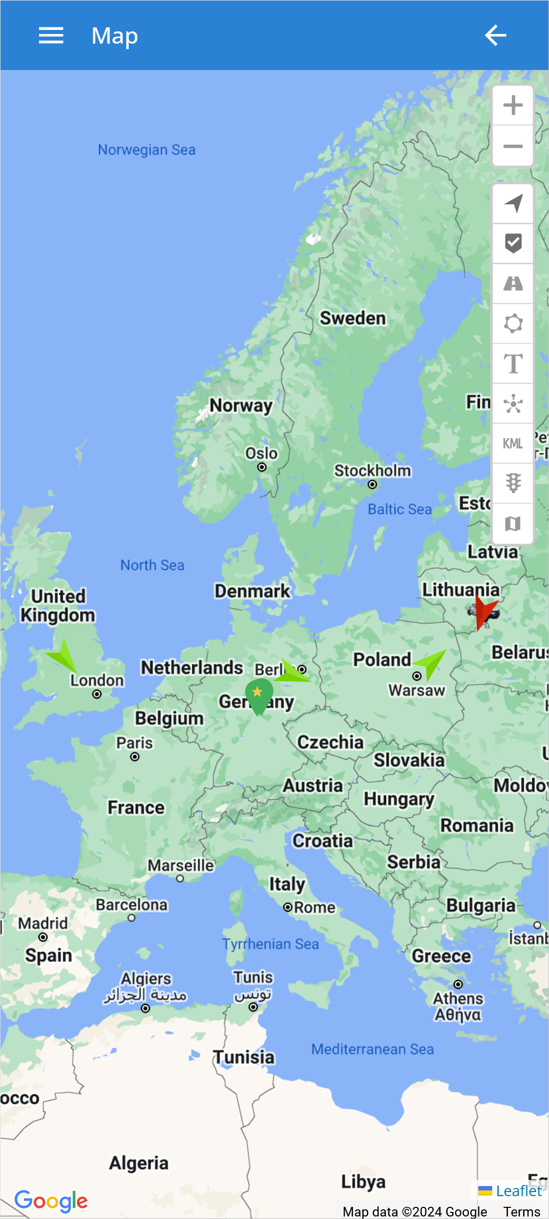
 - Increase map Zoom level.
 - Decrease map Zoom level.
 - Enable/Disable visibility of all objects on the map.
 - Enable/Disable visibility of all markers on the map.
 - Enable/Disable visibility of all routes on the map.
 - Enable/Disable visibility of all zones on the map.
 - Enable/Disable visibility of all labels on the map.
 - Clusters group nearby objects and adjust content visibility based on map zoom, revealing details when zoomed in.
 - Enable/Disable the visibility of all KML geodata on the map.
 - Shows the status of traffic on the map (only available with Google Maps).
 - Allows users to switch between various map providers, including OSM, Google, Bing, Mapbox, Yandex, or any other custom TMS or WMS map.